This website uses cookies to ensure you get the best experience. By clicking or navigating the site you agree to allow our collection of information through cookies. Check our Privacy policy.
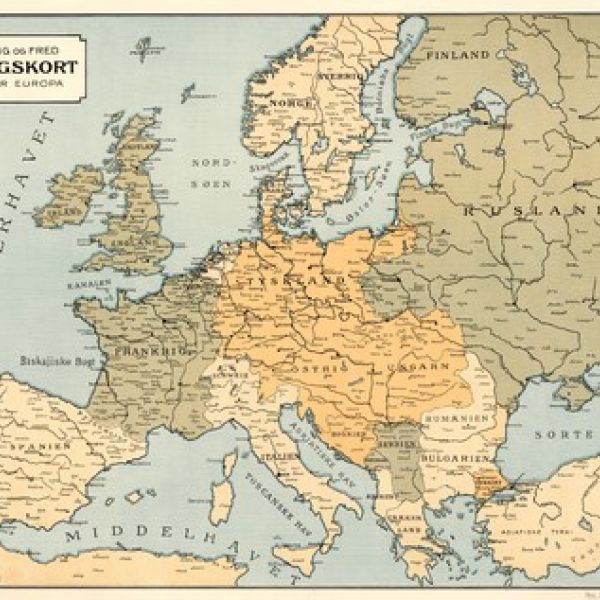
This collection of digital items of maps from the WW1 period is administrated by the National Library of Denmark. These maps illustrate the WW1 battlefields; most of them illustrate the Western Front, the Eastern Front and the Italian Front. This collection of maps reflect the particular role of the country in the war.
.jpg)
.jpg)